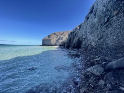
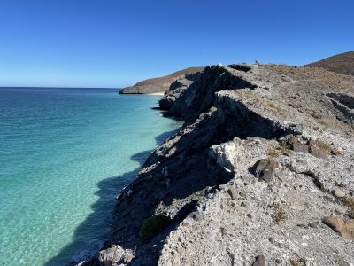
As anyone who visits the city quickly notices, the landscape around La Paz is gorgeous! Many people ask about getting out into nature and exploring. Tours are one option, but hiking is another great way to immerse yourself in nature. While temperatures in the summer (June to October) make it more challenging for hiking, it is still possible to go out for short hikes at sunrise. The Cerro de la Calavera caves, The Balandra look out, or the Tecolote Headland all qualify as short hikes.
From November to the End of May, the conditions are perfect for hiking and there are many great hikes right in and around La Paz. Today I will feature my five favorite hikes in and around La Paz. Each of them will get you out into the natural environment to enjoy the beauty of the desert, the water, and the places where they come together. There are short, 15 minute hikes, longer (3-4 hour), more challenging hikes, and everything in between.
**Important Notes**
- Some people like to head out on some of these hikes to watch the sunset, but once the sun goes down, it gets dark quickly. Be sure to have someone who knows the way along with you and bring flashlights to find your way back in the dark.
- We want to be sure to keep the environment clean and useable. Many of these hikes do not have services or washrooms. Please be responsible hikers and come prepared to pack out anything that you bring in with you. This includes garbage, food remains, and any human or animal waste.
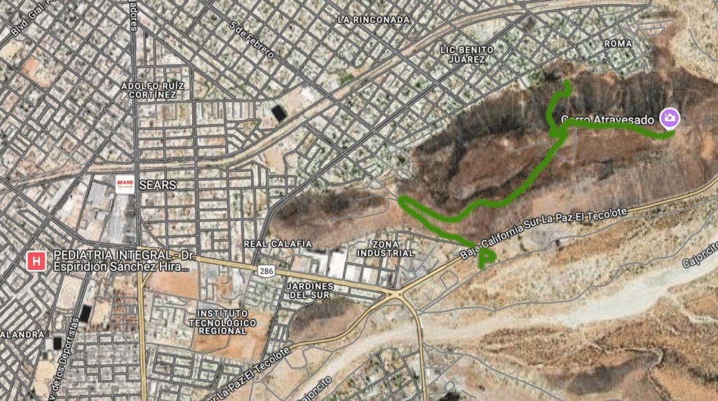
Mirador CAMINANTES Cerro Atravesado, Lookout at Cerro Atravesado Hikehttps://t.ly/tAKKq
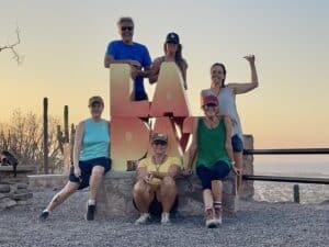
- A group of hikers at the La Paz sign in the Viewpoint park
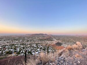
- View from the lookout at Cerro Atravesado
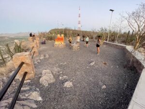
- The park for viewing the city and the sunset
Easy – This hike (45 min to 1.25 hours round trip) is mostly along an access road up the side of a hill in the south of La Paz. At the top of the hill there is a bit of a fork in the path. One fork leads to park that has been built for the purpose of enjoying the views of the city and bay, the other fork leads you to the cell tower and different views.
**Note** Google Maps may try to take you to this hike through a neighborhood, down tiny streets and you will end up at a dead end. Be sure to take the rout shown on the map above. The starting point for the hike is just off the highway on the south side of town. Take Donoldo Colosio all the way south to the intersection just past the Coke factory, then turn left. The parking area for the hike with be just about a km from the intersection of Donoldo Colosio and the highway.
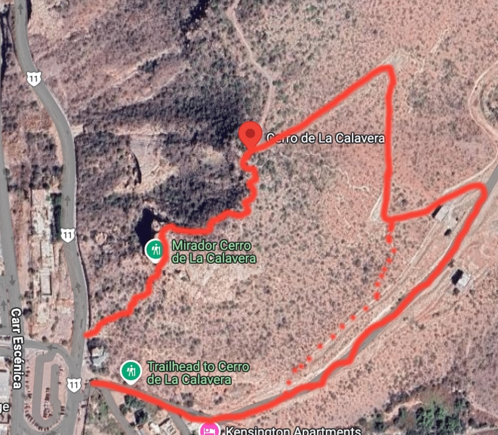
Cerro de la Calavera Hike –https://t.ly/RErQz
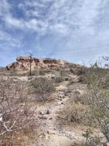
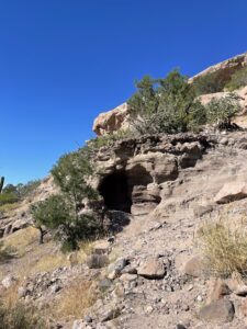
- View of the sandstone caves from below
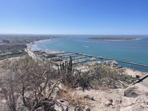
- View from the lookout at the cross on Cerro de la Calavera
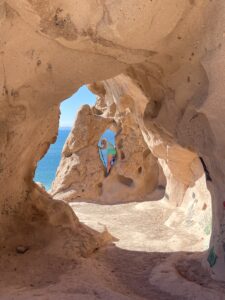
- Inside one of the sandstone caves
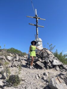
- The cross monument at the lookout
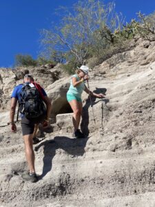
- Hiking up over the sandstone formations at Cerro de la Calavera
- Hiking on the way up to the caves
Watch an amateur video of short and longer versions of hikehttps://t.ly/8RBID
Moderate – A short, 15 minute, hike up to the sandstone caves at the end of the Malecón, but the hike can be extended up the hill to monument of a cross for the Virgen del Guadalupe and a look-out at the top. The path then leads you through the desert pathways behind the hill back down along an access road to the starting point making it closer to 2 hours.
Start off just beyond the white house at the edge of the road, just past the gas station at the end of the Malecón. There are MANY different paths to choose from, so you need to keep your eye on where you want to end up and choose paths that appear to go in that direction. Some paths lead to the sandstone caves and others lead you around them and up to the cross at the top. Watch the amateur video of the hike above to get a sense of what you will be looking for.
Once you have reached the caves and explored them, you can go back down the same way, or can head up to the cross from there. The path is a bit more obvious from here, but again, there are many different paths that take you a slightly different way. Keep your eye on where you want to go and choose paths that appear to lead in that direction.
Once at the top, there are beautiful views in all directions. There is a monument of a cross with a story you can read. After that, follow the path leading away from the cross to the north and east. It will lead you to an access road that you can follow to go back down the hill, or you can choose to descend using the same path you used to climb up.
There are no services on this hike, so it is good to bring lots of water, a hat or umbrella for shade, and have good walking shoes with good grips or hiking boots.
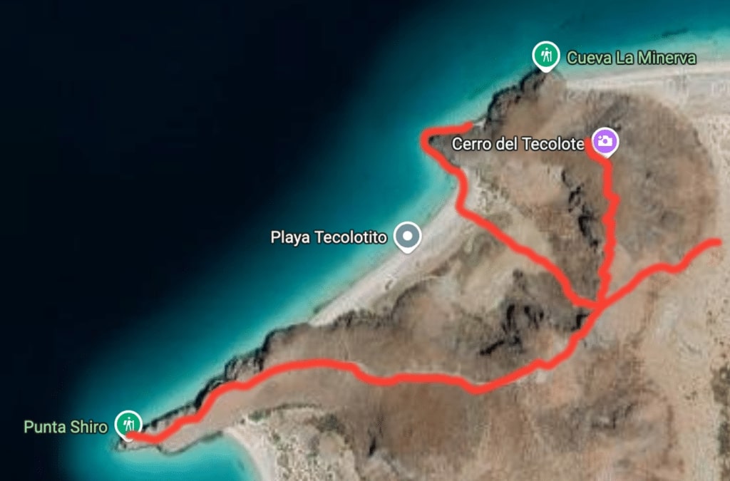
The Cerro del Tecolote and Tecolotito Beach Hikehttps://t.ly/bVKwg
- The inverted triangle rock at the top of the first rise.
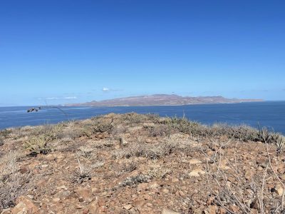
- The view of Isla Espiritu Santo from the headland
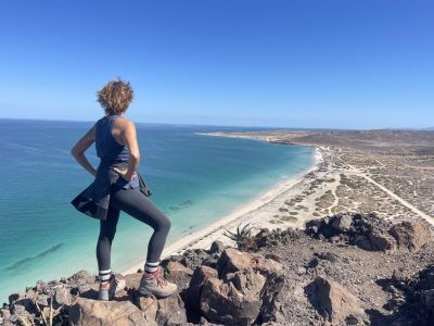
- The view of Tecolote from the headland
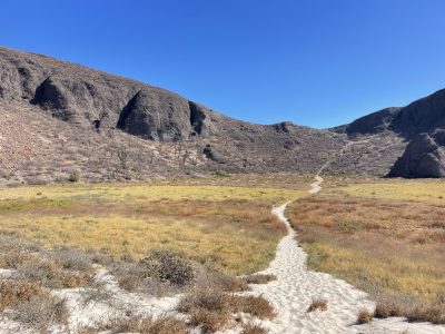
- The flats between the headland and the beach at Tecolotito
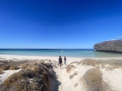
- Passing through the sand dune to Tecolotito
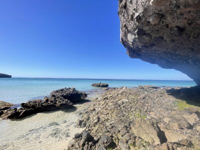
- The rocks and tidal pools to the right on Tecolotito
- The hidden beach around the corner from Tecolotito
- The ridge of rock along which we hike to the point of the third bay of Balandra
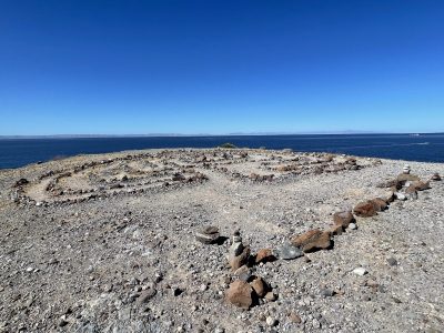
- The rock maze
This hike can be as short as 1 hour (out and back) or as long as 3-4 hours round trip.
Park at the far end of Tecolote beach, near the scar in the side of the hill.
Hike up the first segment, it is fairly easy, but there are some loose stones, so caution and good shoes are recommended. Hiking sticks can be a great help.
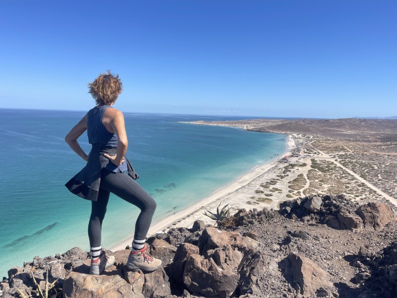
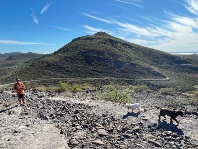
To start, hike up to the large inverted triangle rock at the level off point on the ridge. It is a great point to stop for water and to admire the views. From there, turn right and go up over the small hill. There does not really appear to be a path there, but once you are over the hill there is a faint path that will lead you up to the headland that separates Tecolote Beach from Tecolotito. At the top, it flattens out and there is a large space for exploring and just admiring the beautiful views in both directions.
After descending again to the triangle rock, take the path to the right into Tecolotito Beach area. The path here is very well marked and, though a bit steep at the start, is fairly easy to navigate. Again, watch for loose stones underfoot. Cross the flatlands and pass through the sand dune to access the beautiful white sands of Tecolotito beach. Explore to the left and collect stones sea glass. The water is shallow and often a bit warmer than other locations, so it can be nice to wade or go for a swim (if you do go in the water, be sure to remember to do the Stingray Shuffle).
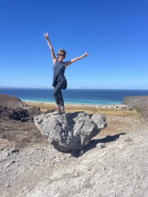
If you go to the right and explore the rocky outcroppings you can follow it all the way around the point where you can check out the tidal pools, watch white spotted crabs scampering over the rocks, and scramble up on rocks for photo ops. When the tide is out, you can walk all the way around the point to a small sandy beach hidden away around the corner.
Afterwards, hike back up to the ridge, where you can either return to Tecolote or follow the ridge line pathway along behind Tecolotito and out to the point at the furthest of the three bays of Balandra. There is a rock maze there (sometimes it is in better shape than others as people often mess with the rocks), and stunning views of Balandra, Isla Espiritu Santo, and the straight. You can sometimes watch large schools of fish or even turtles swimming by.
At one time, you could hike down the side of the hill into the third bay of Balandra and around to the Mushroom Rock, but the guards on Balandra Beach are now on the lookout for people entering from this side and will turn you away. You are best to try to do that hike from the Balandra side. When you are finished at the point, follow the same route back to Tecolote where you can enjoy some good food and drink at one of the many restaurants and bars there.
It is important to remember that once you leave Tecolote Beach area, this hike has no services, little shade, and no bathrooms either, so bring a hat, lots of water, and something to pick up anything you might need to leave behind for those doing a longer hike. There is internet signal from the ridge and on the headland, if you need to get in communication for some reason while on the hike.
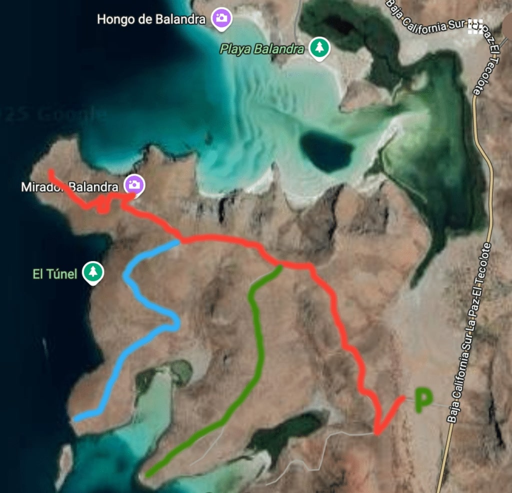
Hike to Overlook of Balandra –https://t.ly/-xE4J
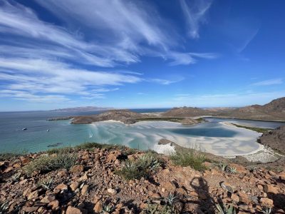
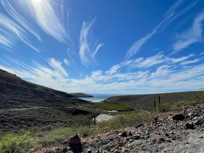
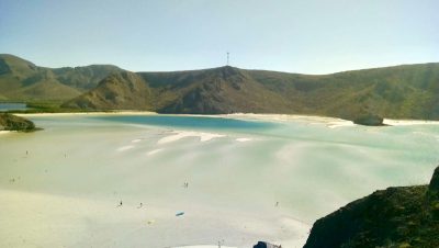
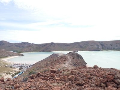
- Viewpoint of Balandra Bay
- Relatively flat and well marked path
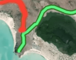
- Hidden bays you can explore after the Balandra Viewpoint
Easy – The trailhead for this hike is on the left of the highway before you reach the fork in the road leading to Balandra and Tecolote. You can see a light-colored scar on the hillside that is the start of the trail. Choose to hike just up to the overlook, or you can extend it down into one of the secluded bays to the south and west of Balandra.
The trails are fairly wide and obvious with flat terrain, for the most part. There are some inclines and declines, but nothing precarious. The hike to the lookout near the Cell tower is about 1 – 1.25 hours out and back. An extended hike goes all the way down to the point across from the widest part of Balandra ( more like 2.5 hours out and back). There are also additional trails down into secluded bays around the corner from Balandra that make for a full day hike. Note, there is no shade and no services and no bathrooms so be sure to bring water, and a hat, and snacks to keep your energy up as well as something to pick up anything you may need to leave behind (tissue and a baggie work well)
Balandra Viewpoint Hike –https://t.ly/-xE4J
- Short hike from parking lot up to the lookout point
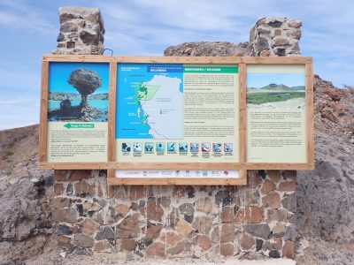
- Interpretive information at lookout
- Part of the view of Balandra Bay from the lookout
- the path to the lookout from the ridge
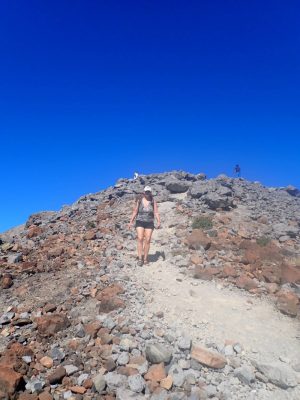
- Some rocks to negotiate on the descent and ascent between the first ridge and the overlook point
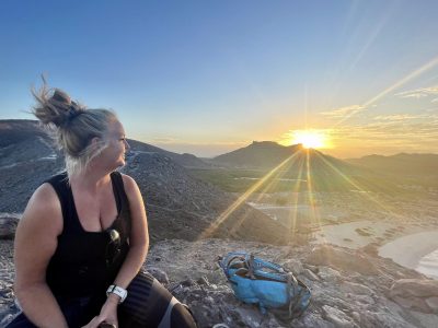
- Sunrise from the lookout
Easy-moderate – This trail is only accessible from the Balandra parking lot, so you must make the hike within the operating hours for either the morning (8 am to 12pm) or afternoon (1 pm to 5 pm) time slot for Balandra Beach. There is a maximum number of people they allow to access the beach at any time, so go early to ensure you get in for the time slot you are looking for. In late April and May, you will want to go in the morning. In the winter, it is cool enough to hike it in the afternoon.
You hike up the side of the hill on a well-marked and partially concreted path. While fairly steep, if you go slowly, it is easy. Once at the top, there is an option to hike down a small gulley and then up another incline to a viewpoint that overlooks the entire bay. This section is a bit more challenging, and you need to have reasonably good balance and flexibility to get over rocks and down the incline, but it is WELL worth it. The views from the top are stunning.
The hike up to the first level takes only about 15 minutes. The second part takes only about another 10 minutes or so. You will want to allow some time for just admiring the view and taking photos.
You used to be able to hike down into the second bay of Balandra, behind the sand dunes, and then up over onto the beach, but there are now signs saying that it is not permitted. There was too much damage being done to the dunes. You may still be able to hike up over the ridges to Tecolote and Tecolotito, but the path there is not well marked and they may discourage it now.
There are MANY more hikes in the area around La Paz as well as in the communities between La Paz and Los Cabos, such as El Triunfo, La Ventana, Los Barriles, and Todos Santos. If you are interested in hiking in Baja California Sur, or if you would just prefer to have someone who is familiar with the hike to go with you, get in touch at sue(at)suecasalapaz(dotted)com. I can give you more information about hikes that you might enjoy or can even arrange to lead a group hike for you.

